What do you need to consider when passage planning? What websites, software, and apps are available to plot a sailing voyage from point A to B? Read the steps that Simon, Captain of Britican, uses before we set sail for our next destination. And then watch our Passage Planning video to get a behind-the-scenes snapshot on what Simon looks at and how he analyses the information.
Passage Planning Step 1 – Deciding to go somewhere
The first step in our passage planning routine is to decide that we’re ready to go somewhere. When we’re actively cruising we often stay in anchorages or marinas anywhere from one night to a couple of weeks and then move on. From time to time we’ll get stuck in one place due to repairs or weather restrictions, but overall we’re almost always on the move when sailing for a season.
From a planning perspective, Simon and I are always watching the weather and have a firm handle on conditions. When we’re in one place for a while and are setting up for a big trip – perhaps anything over a few days (like our Bermuda to Charleston 800 mile Bermuda To USA Passage), we’ll start looking at the forecast five days before we plan on leaving.
Passage Planning Step 2 – Deciding where to go
We survey all our destination options by using our PredictWind navigational app (paid for version) that we have on our iPad. We look at any restrictions on leaving our current port and then look at potential destinations.
Sometimes we’ll head out for a three-hour sail and another time it might be three days. To give some examples, when sailing up the west coast of Italy, we sailed around 12 hours maximum each day for three days stopping to anchor or stay in a marina. When we sailed over to Sardinia it took us over two days.
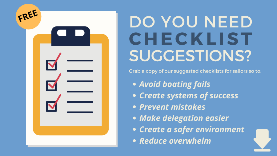
For the majority of the time, we select destinations based on what other cruisers recommend. Other times we read a local pilot book and determine which destination best suits our current needs – do we want to relax in a quiet bay or find a marina and go for a historical tour on land? We then consider the best place to aim for with consideration to all the items listed in my ‘Passage Planning Basics’ table (Found in my guide: Checklists for Sailors – Passage Planning, Sailboat Maintenance, Cleaning, Medical and more).
Passage Planning Step 3 – Watching the weather
So…we check the weather as early as five days before travel. Sometimes we make a fast decision to leave quickly; sometimes we leave as scheduled and other times we wait for weeks to get a weather window.
After sailing in a variety of conditions we know what the crew and boat can handle. If day two is showing a large swell but if we leave on day three there’s no swell and good wind, we’ll wait for the better conditions.
While based in the States, Simon and I look at WindyTy.com and PassageWeather.com looking at the sea state, wind direction, storms, fronts, lows, and highs to get an idea of what’s going on. It’s best to ask local cruisers what their preferred weather website is – you’ll want to find a website that has the best accuracy for the local area.

Passage Planning Step 4 – Departure planning
We then open our PredictWind app again. PredictWind has all sorts of bells and whistles but I’m only going to describe the features we use on a routine basis. Once again we look at the weather report within the app (only if we have an internet connection).
On our paid version we have tools so we use ‘Weather Routing’ and ‘Departure Planning’. Weather Routing allows us to select a current and end location in addition to the date we want to leave. Once we fill in the details we hit ‘Calculate Route’ and it tells us four routes pulling from four different weather models (PWG, PWE, GFS, and ECMWF).
Calculations are based on true wind speed, knots, wind direction, wind angle, swell height, current direction, swell direction, and current speed.
Note that you must have an Internet connection to get live weather data. We then move over to ‘Departure Planning’. This is only useful for longer trips – perhaps 36 hours plus.
We enter the start and finish destination in addition to when we want to leave.
Then, we enter ‘space departures by hours’ and what this does is show us what the conditions will be if we leave now, tomorrow, the day after tomorrow, and so forth. We could also request what the conditions will be every five hours or 10 hours.
Information provided includes estimated passage time, max wind speed, min wind speed, % time upwind/reaching/downwind, and so forth. Information is also provided on swells so if you don’t like them you can often plan to leave when they’re at their smallest (can you tell that I don’t like swells?) Simon covers this all in the video below.
Passage Planning Step 5 – Plotting a course
Once we decide on the best time to go we then open our Navionics app of which we also use the paid-for version. An Internet connection is not necessary however you do need a GPS enabled device for this app to show your position.
We go into ‘Route,’ and select ‘Manual’. If you select ‘Automatic’ it takes the most direct route, which is fine if you’re a motorboat or motoring but if you want to sail we select ‘Manual’ so that we can plot the waypoints.
First, we plot where we are, then we set up our waypoints to navigate out of the area, along a course considering our weather details and points for entrance to our destination. Once that’s done we set the waypoints up on our boat plotters. Our boat plotters also use Navionics software.
Our plotters are 12 years old so we actually rely on our iPad more when we’re close inland as the details are better. When we’re out at sea we mainly rely on the boat plotters.
Passage Planning Step 6 – Consider safe refuges
After almost six years of full-time cruising, I’d say that 20% of the time we’ve had to abandon our plan.
In Greece on several occasions, we arrived late to a bay that was too full and had to head to an alternative bay. One time we set out sailing west thinking the wind would be coming from the north only to find that it was coming from the west. We planned on going to the famous Greek Island of Santorini, but instead, had to head south and found a great anchorage in Crete.
When we planned to sail from Bermuda to Charleston, South Carolina we had to divert to Wilmington, North Carolina because the wind, waves, storms, and Gulf Stream forced us north. Check out our Sailing Bermuda to USA videos and articles to see just how passage planning can go very wrong.
Passage Planning Step 7 – Prepare to leave
Once we know that our departure is imminent, we consider what we have to do to leave the anchorage or mooring. Often, there’s nothing that needs to be done, but if we’re at a marina we’ll have to pay the bill. If we’re leaving a country, we’ll have to book out and so forth.
With our iPad, we have our navigational information and as long as we get an Internet connection we also have access to the weather. When we don’t have Internet access we rely on VHF weather broadcasts, using our Satellite connection to download GRIB files (weather files) or in a pinch, on long passages we’ll call a passing tanker or another vessel to get the latest weather report.
Passage Planning Video
Links mentioned in the video (for easy reference)
– WindTy
– National Hurricane Center
– Predict Wind
– Navionics
– Passage Weather
Are you interested in more information about checklists for sailors?
- Check out all our checklist articles and videos here: Checklists
- Get 50+ Checklist Suggestions here: Suggested Checklists For Sailors
- Also, check out our shop for a variety of guides that include checklists here: Britican Shop
Hi, great article and video, very informative. But I kept wondering through the video… What went wrong in the planning?
All models “promissed” a max of 20 knots wind so plus 5 for margin still puts models way under the 50-60 knots wind you saw out on the seas?
Will you do a followup on this article?
Kind regards, Peter
Hey Peter…I suppose it’s just an important lesson that demonstrates forecasts are not always accurate. Things change… what kind of follow-up would you be interested in? Do you have specific questions? If so, let me know. K.
When you plot your course on the chart plotter it is important to zoom in and follow the rhumb line to ensure that there are no hazards along the way, there have been numerous occasions where cruisers have come to grief as they “didn’t know the hazard was there”
That’s a great question. I don’t know why it happens, but it does happen. If you’re too zoomed out you can miss hazards, but I don’t know what the recommended scale needs to be to see them. I suppose that’s a good reason to have a chart?! We need to find a plotter expert to explain that to us…